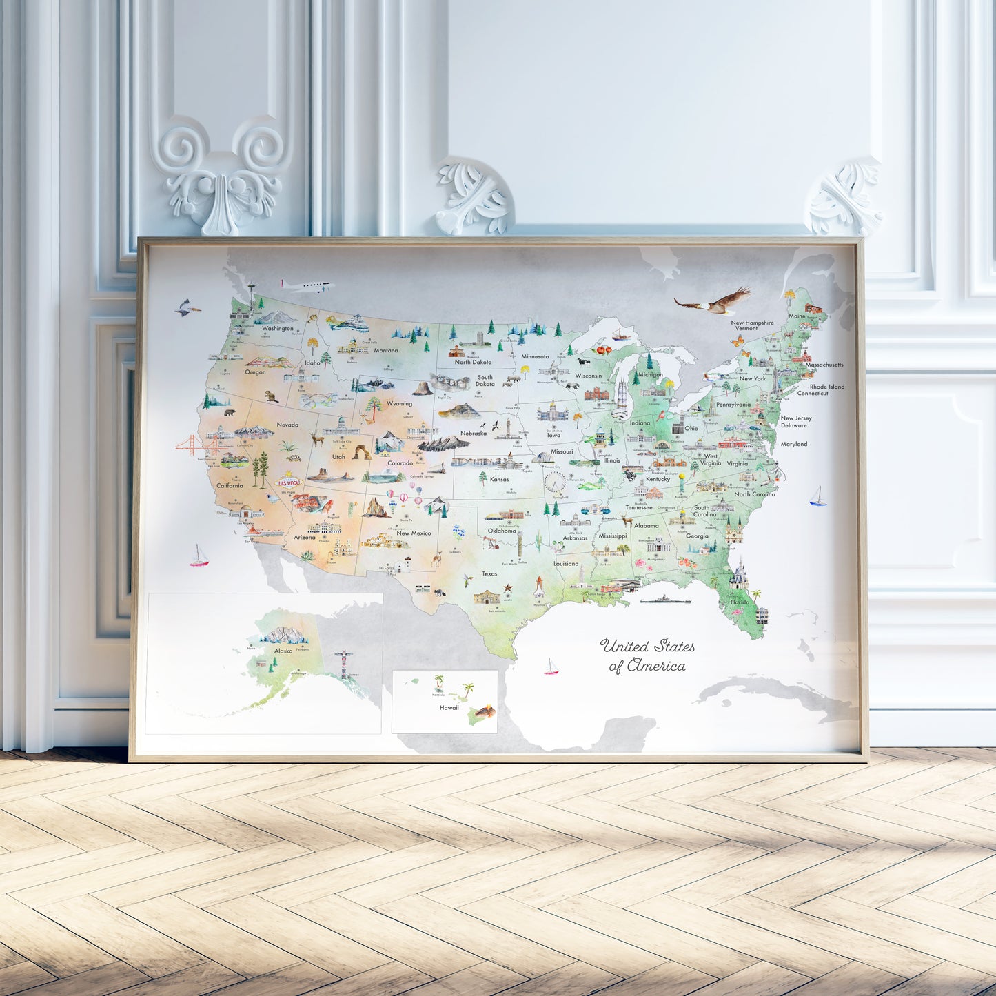
United States of America Reference Map


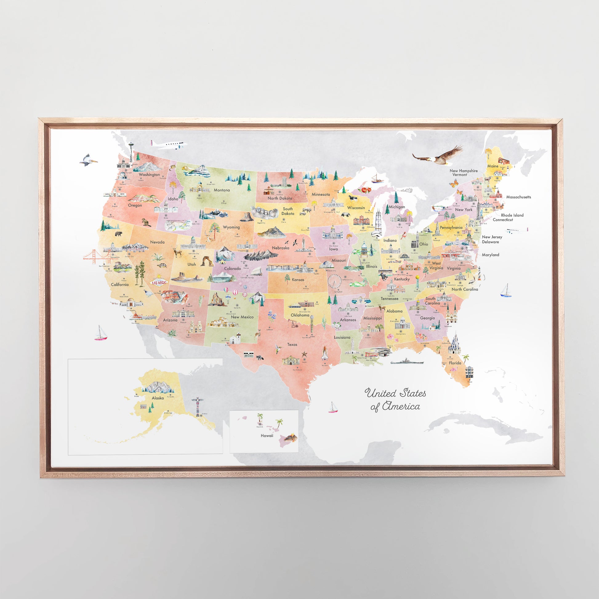


United States of America Reference Map
Couldn't load pickup availability
Estimated delivery: Up to 10 days from order date
An illustrated educational map of United States, featuring state outlines, capital cities, and illustrated renditions of famous landmarks, plants, and animals from different parts the country.
This map is perfect for learning about the geography and natural history of the United States.
Our wooden framed art prints come in a white or black finish, are 1 1/4" by 3/4 " thick, and include hanging hardware. The ensemble comes with an acrylic front protector to help prevent damage to the print.
Sizing Guide
+
-
Sizing Guide
| Inches (in) | Centimeters (cm) |
|---|---|
| 5 x 7 in | 10.1 x 17.8 cm |
| 8 x 10 in | 20.3 x 25.4 cm |
| 12 x 16 in | 30.5 x 40.6 cm |
| 18 x 18 in | 45.7 x 45.7 cm |
| 16 x 20 in | 40.6 x 50.8 cm |
| 18 x 24 in | 45.7 x 61.0 cm |
| 24 x 36 in | 61.0 x 91.4 cm |
Shipping & Returns
+
-
Shipping & Returns
All art print orders that do not require any customization or personalization ship for free worldwide within 3-5 business days. For US orders, please allow another 3-5 days for delivery. For international orders please allow 10-20 business days for delivery.
Canvases and framed prints will usually take 5-7 business days to ship.
For custom and bespoke map print products, the average lead time will be within 5-10 days for the first proof. Upon approval of the final proof, the item will be shipped within 3-5 business days.