Collection: Illustrated Country Maps

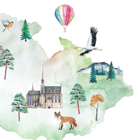
Discover illustrated country maps filled with landmarks, landscapes, architecture, wildlife, and cultural details that bring each destination to life. Designed as visual reference objects for curious minds, these maps encourage exploration, learning, and meaningful conversations about the world from home.
Every piece balances clarity with richness, simplifying complex places into approachable visual systems without losing their depth or character. Ideal for family libraries, homeschool spaces, nurseries, and thoughtful interiors, these maps are created to be revisited again and again.
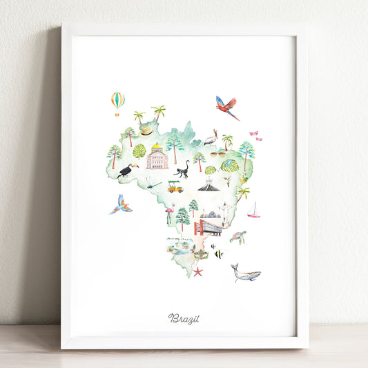
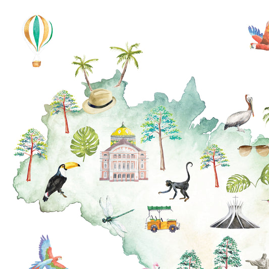
“It came safely packaged and was a perfect surprise for my husband who has been homesick for his native Brazil. Thank you for our new favorite piece of art.”
— C. Heaney
Discover illustrated country maps filled with landmarks, landscapes, architecture, wildlife, and cultural details that bring each destination to life. Designed as visual reference objects for curious minds, these maps encourage exploration, learning, and meaningful conversations about the world from home.
Every piece balances clarity with richness, simplifying complex places into approachable visual systems without losing their depth or character. Ideal for family libraries, homeschool spaces, nurseries, and thoughtful interiors, these maps are created to be revisited again and again.
“It came safely packaged and was a perfect surprise for my husband who has been homesick for his native Brazil. Thank you for our new favorite piece of art.”
— C. Heaney
-
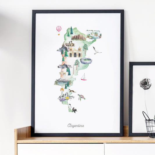
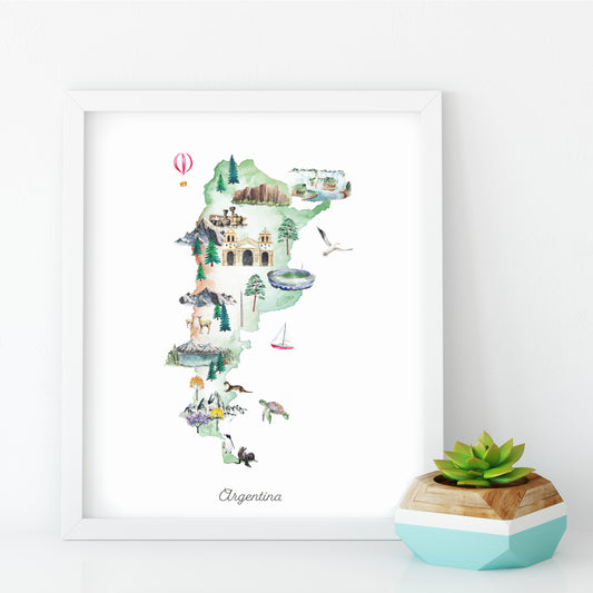
Argentina Illustrated Map Art Print
Regular price From $ 24.00Regular priceUnit price per0.00 0.00Sale price From $ 24.00- Earth
- Midnight
-
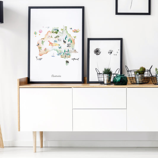
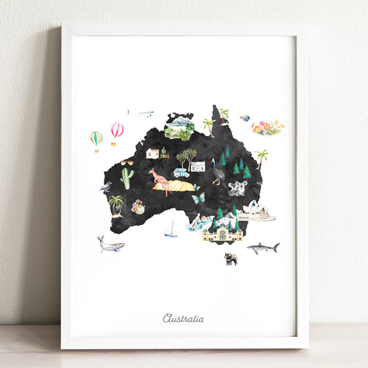
Australia Illustrated Map Art Print
Regular price From $ 24.00Regular priceUnit price per0.00 0.00Sale price From $ 24.00- Earth
- Midnight
-
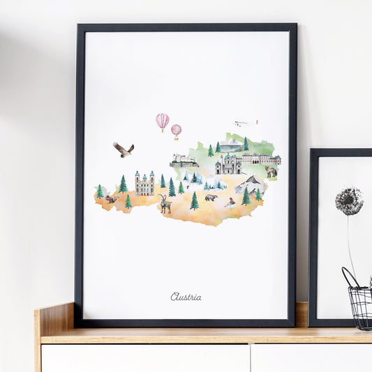
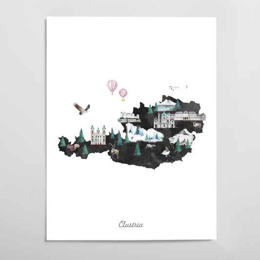
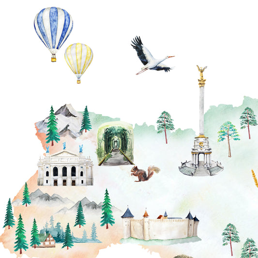
Austria Illustrated Map Art Print
Regular price From $ 24.00Regular priceUnit price per0.00 0.00Sale price From $ 24.00- Earth
- Midnight
-
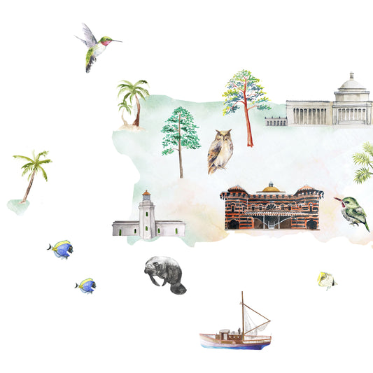
Brazil Illustrated Map Art Print
Regular price From $ 24.00Regular priceUnit price per0.00 0.00Sale price From $ 24.00- Earth
- Midnight
-
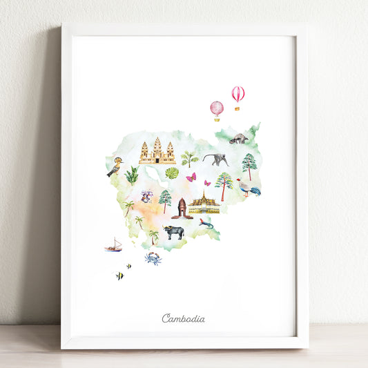
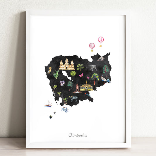
Cambodia Illustrated Map Art Print
Regular price From $ 24.00Regular priceUnit price per0.00 0.00Sale price From $ 24.00- Earth
- Midnight
-
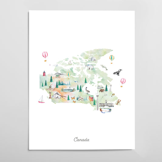
Canada Illustrated Map Art Print
Regular price From $ 24.00Regular priceUnit price per0.00 0.00Sale price From $ 24.00- Earth
- Midnight
-
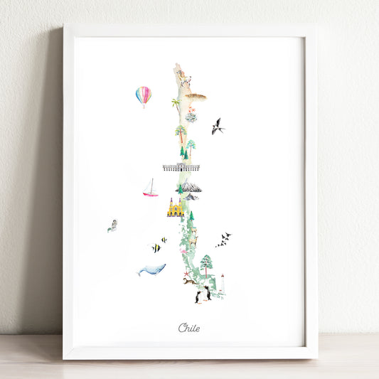
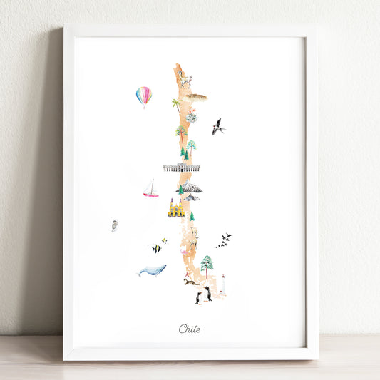
Chile Illustrated Map Art Print
Regular price From $ 24.00Regular priceUnit price per0.00 0.00Sale price From $ 24.00- Earth
- Midnight
-
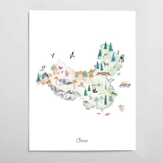
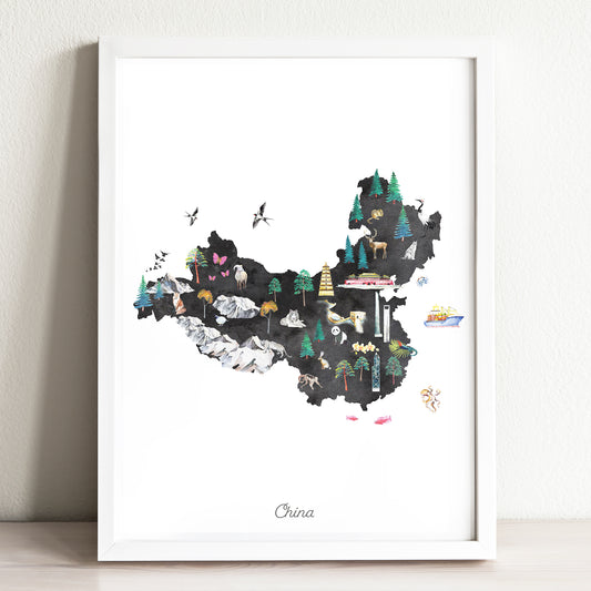
China Illustrated Map Art Print
Regular price From $ 24.00Regular priceUnit price per0.00 0.00Sale price From $ 24.00- Earth
- Midnight
-
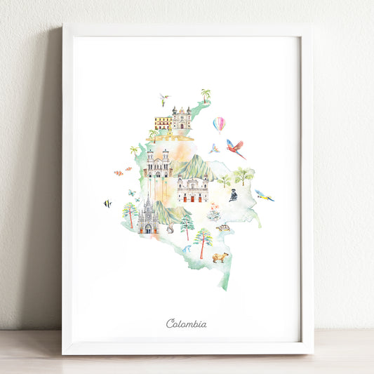
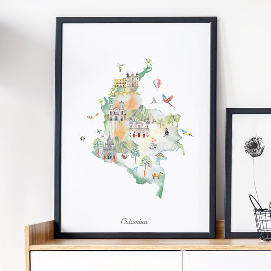
Colombia Illustrated Map Art Print
Regular price From $ 24.00Regular priceUnit price per0.00 0.00Sale price From $ 24.00- Earth
- Midnight
-
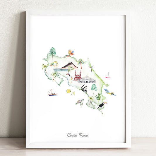
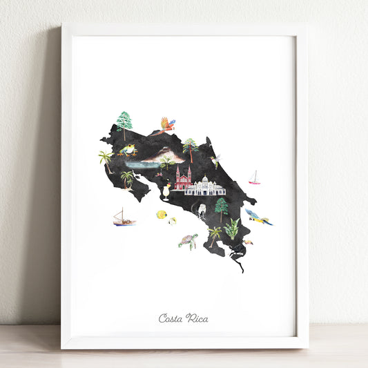
Costa Rica Illustrated Map Art Print
Regular price From $ 24.00Regular priceUnit price per0.00 0.00Sale price From $ 24.00- Earth
- Midnight
-
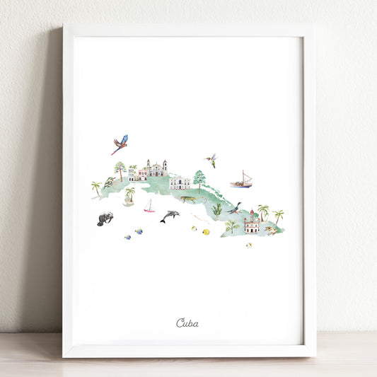
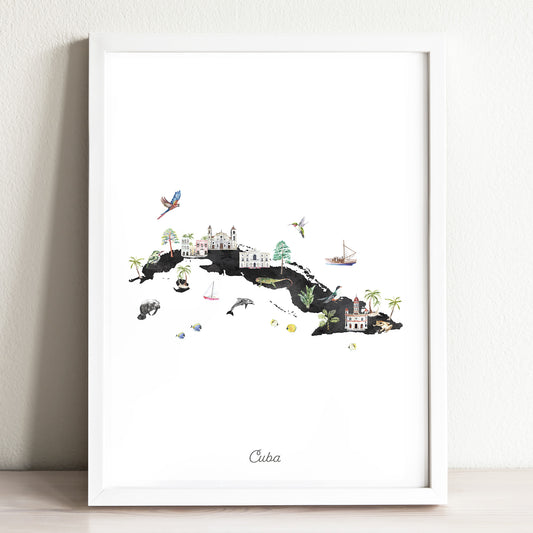
Cuba Illustrated Map Art Print
Regular price From $ 24.00Regular priceUnit price per0.00 0.00Sale price From $ 24.00- Earth
- Midnight
-
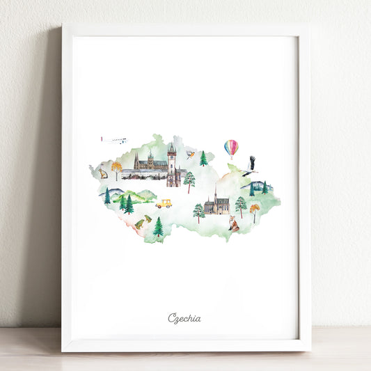
Czechia Illustrated Map Art Print
Regular price From $ 24.00Regular priceUnit price per0.00 0.00Sale price From $ 24.00- Earth
- Midnight
-
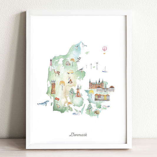
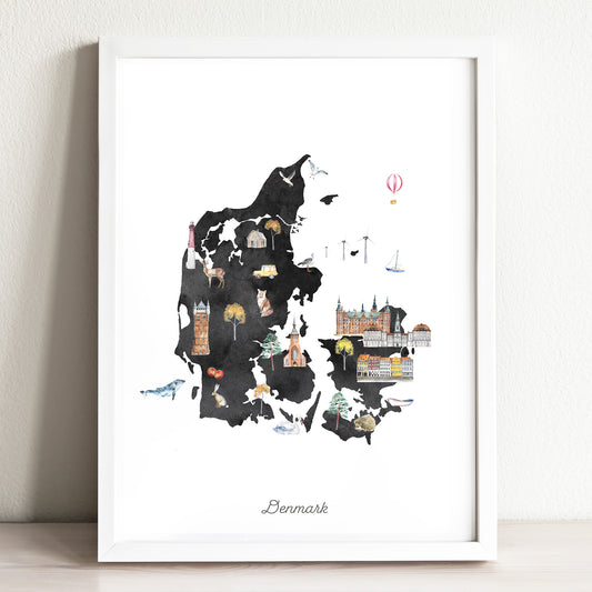
Denmark Illustrated Map Art Print
Regular price From $ 24.00Regular priceUnit price per0.00 0.00Sale price From $ 24.00- Earth
- Midnight
-
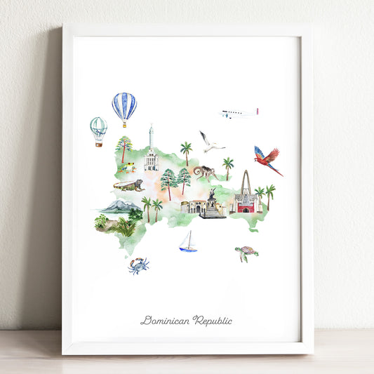
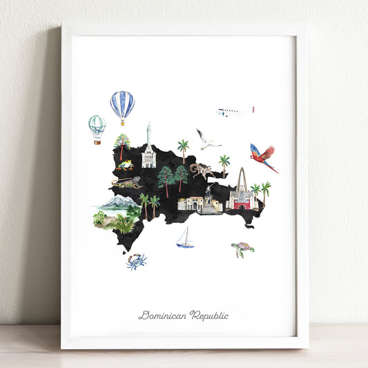
Dominican Republic Illustrated Map
Regular price From $ 24.00Regular priceUnit price per0.00 0.00Sale price From $ 24.00- Earth
- Midnight
-
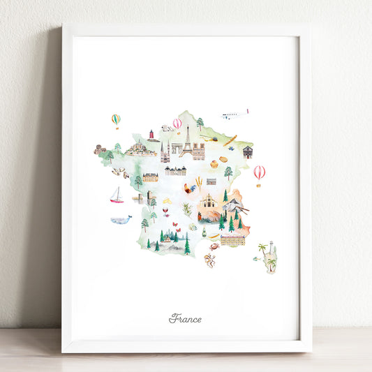
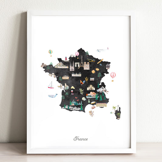
France Illustrated Map Art Print
Regular price From $ 24.00Regular priceUnit price per0.00 0.00Sale price From $ 24.00- Earth
- Midnight
-
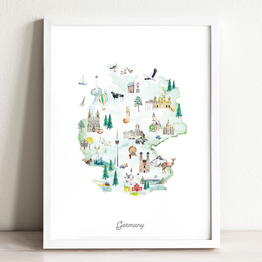
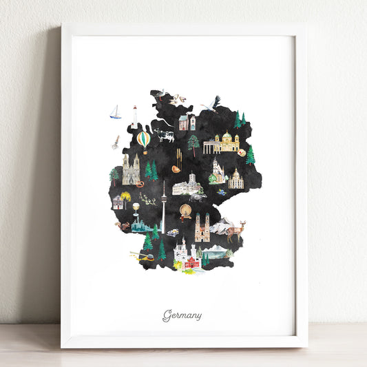
Germany Illustrated Map Art Print
Regular price From $ 24.00Regular priceUnit price per0.00 0.00Sale price From $ 24.00- Earth
- Midnight
-
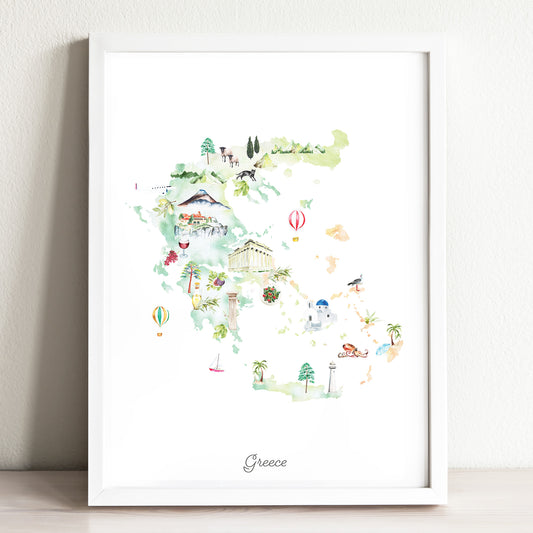
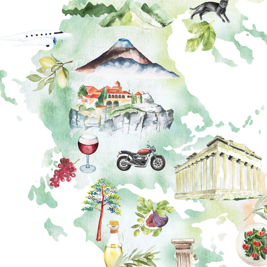
Greece Illustrated Map Art Print
Regular price From $ 24.00Regular priceUnit price per0.00 0.00Sale price From $ 24.00- Earth
- Midnight
-
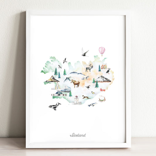
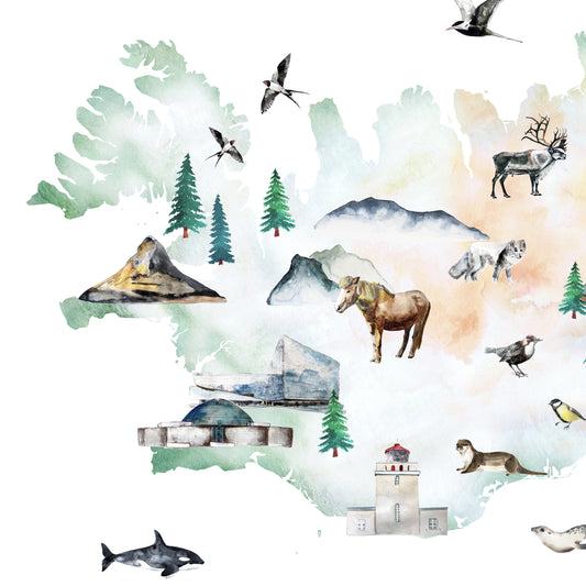
Iceland Illustrated Map Art Print
Regular price From $ 24.00Regular priceUnit price per0.00 0.00Sale price From $ 24.00- Earth
- Midnight
-
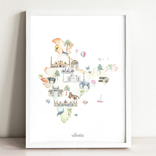
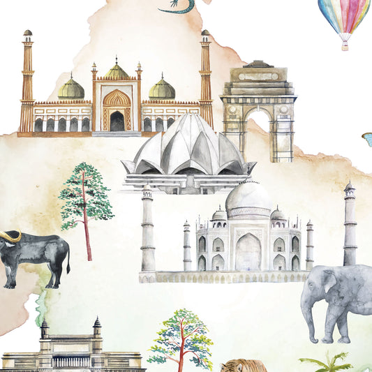
India Illustrated Map Art Print
Regular price From $ 24.00Regular priceUnit price per0.00 0.00Sale price From $ 24.00- Earth
- Midnight
-
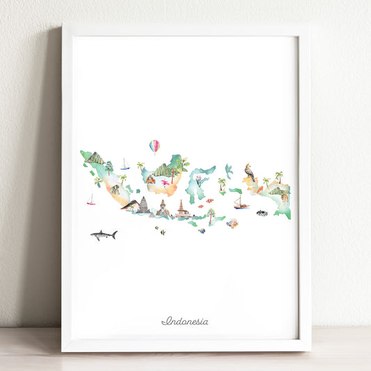
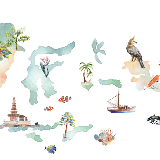
Indonesia Illustrated Map Art Print
Regular price From $ 24.00Regular priceUnit price per0.00 0.00Sale price From $ 24.00- Earth
- Midnight
-
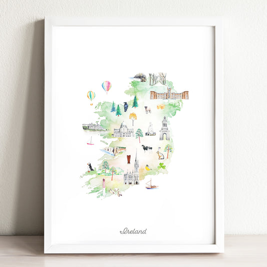
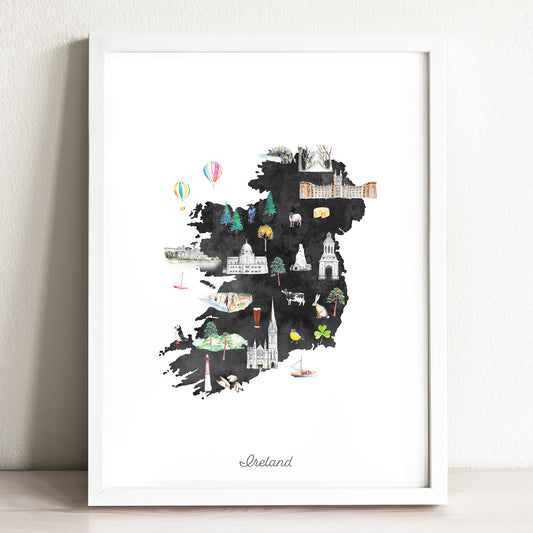
Ireland Illustrated Map Art Print
Regular price From $ 24.00Regular priceUnit price per0.00 0.00Sale price From $ 24.00- Earth
- Midnight
-
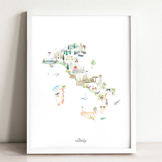
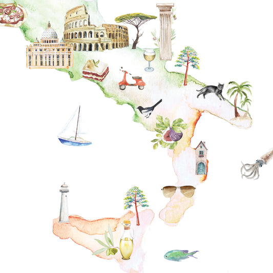
Italy Illustrated Map Art Print
Regular price From $ 24.00Regular priceUnit price per0.00 0.00Sale price From $ 24.00- Earth
- Midnight
-
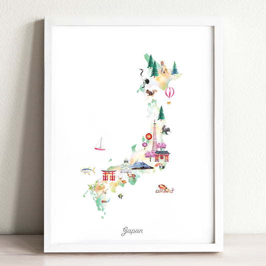
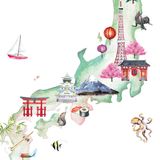
Japan Illustrated Map Art Print
Regular price From $ 24.00Regular priceUnit price per0.00 0.00Sale price From $ 24.00- Earth
- Midnight
-
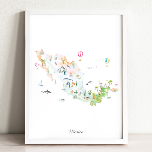
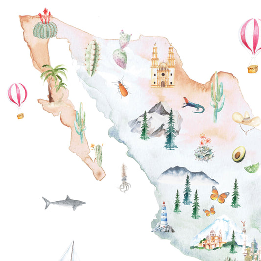
Mexico Illustrated Map Art Print
Regular price From $ 24.00Regular priceUnit price per0.00 0.00Sale price From $ 24.00- Earth
- Midnight
-
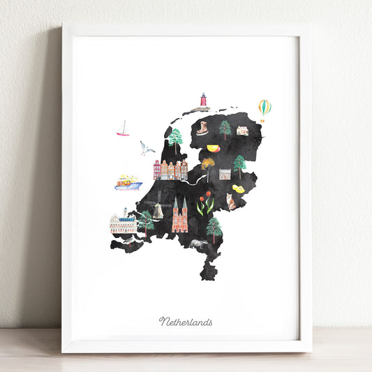
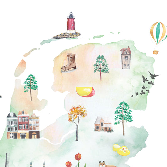
Netherlands Illustrated Map Art Print
Regular price From $ 24.00Regular priceUnit price per0.00 0.00Sale price From $ 24.00- Earth
- Midnight
-
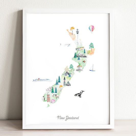
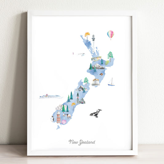
New Zealand Illustrated Map Art Print
Regular price From $ 24.00Regular priceUnit price per0.00 0.00Sale price From $ 24.00- Earth
- Midnight
-
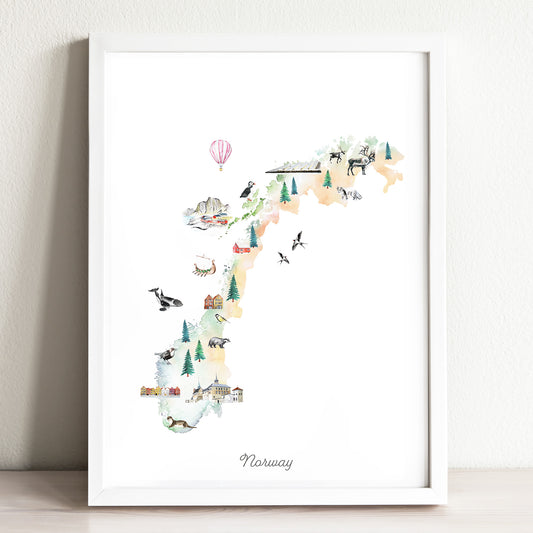
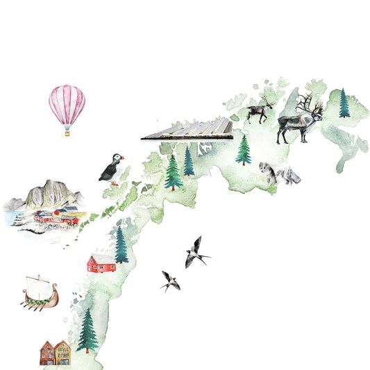
Norway Illustrated Map Art Print
Regular price From $ 24.00Regular priceUnit price per0.00 0.00Sale price From $ 24.00- Earth
- Midnight
-
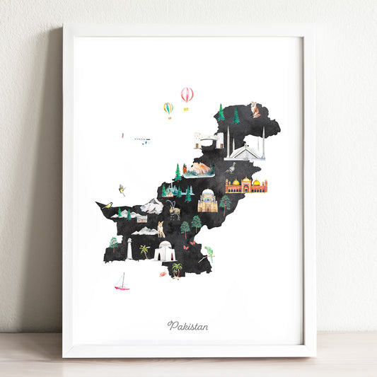
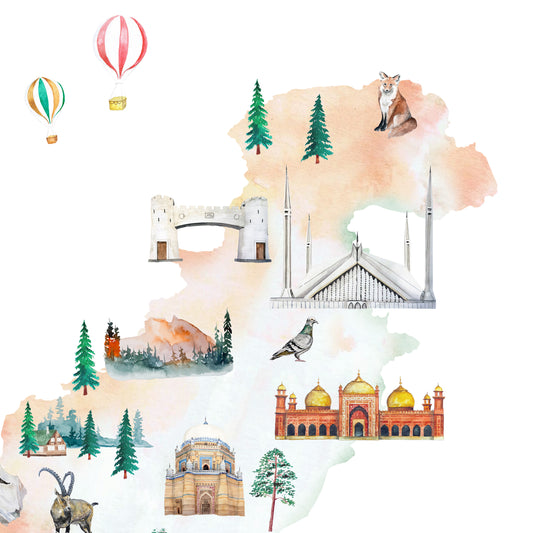
Pakistan Illustrated Map Art Print
Regular price From $ 24.00Regular priceUnit price per0.00 0.00Sale price From $ 24.00- Earth
- Midnight
-
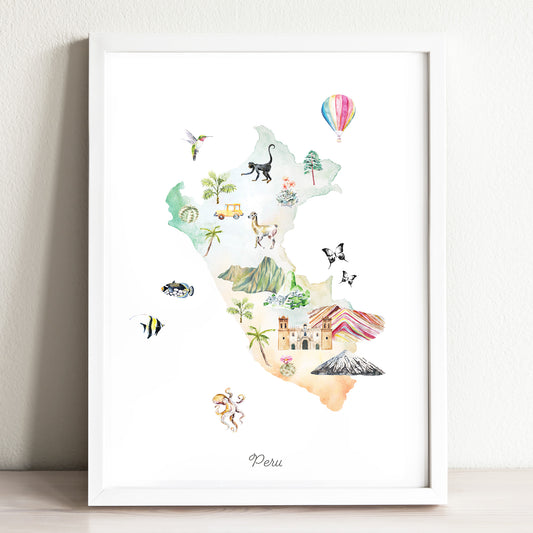
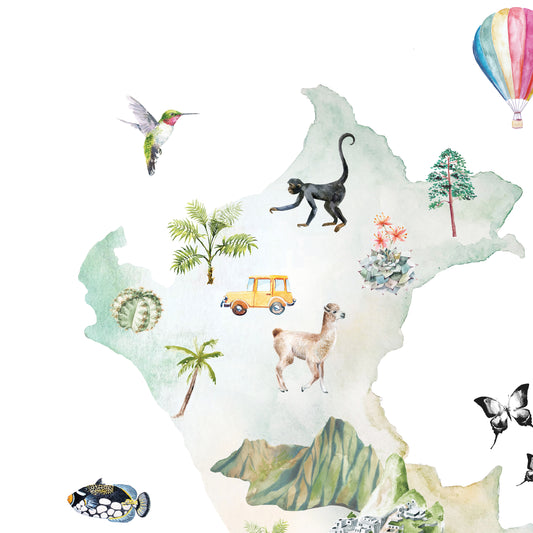
Peru Illustrated Map
Regular price From $ 24.00Regular priceUnit price per0.00 0.00Sale price From $ 24.00- Earth
- Midnight
-
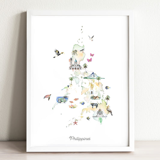
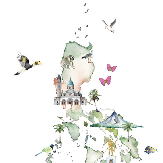
Philippines Illustrated Map Art Print
Regular price From $ 24.00Regular priceUnit price per0.00 0.00Sale price From $ 24.00- Earth
- Midnight
-
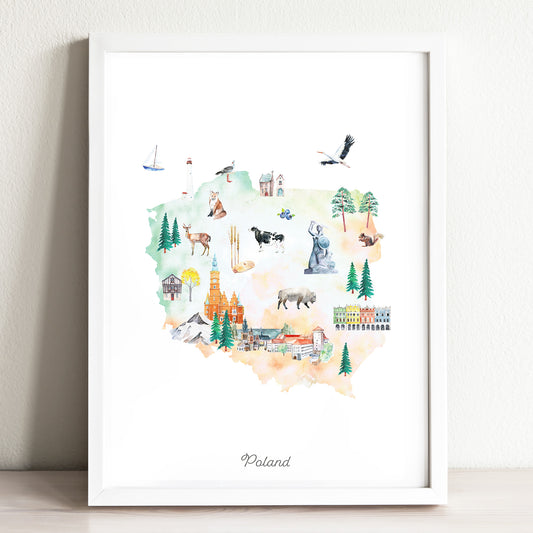
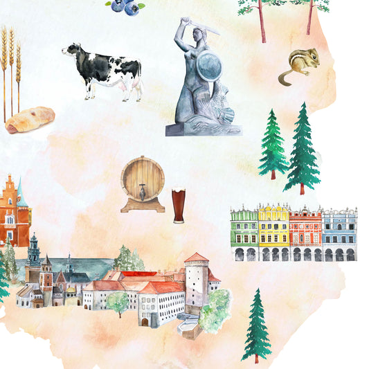
Poland Illustrated Map Art Print
Regular price From $ 24.00Regular priceUnit price per0.00 0.00Sale price From $ 24.00- Earth
- Midnight
-
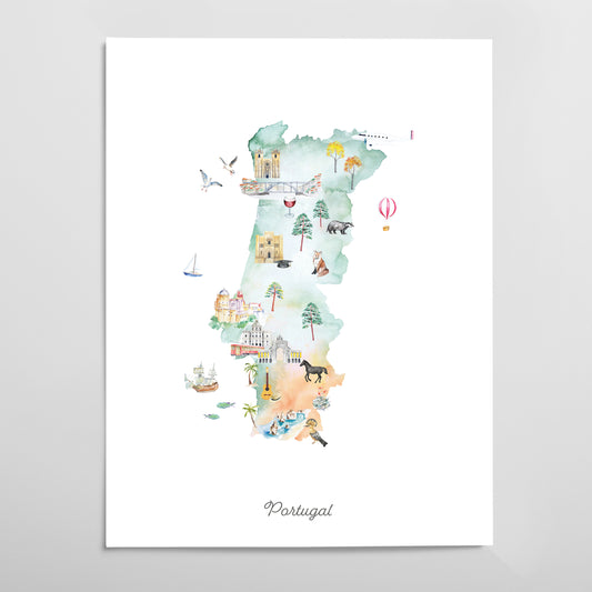
Portugal Illustrated Map Art Print
Regular price From $ 24.00Regular priceUnit price per0.00 0.00Sale price From $ 24.00- Earth
- Midnight
-
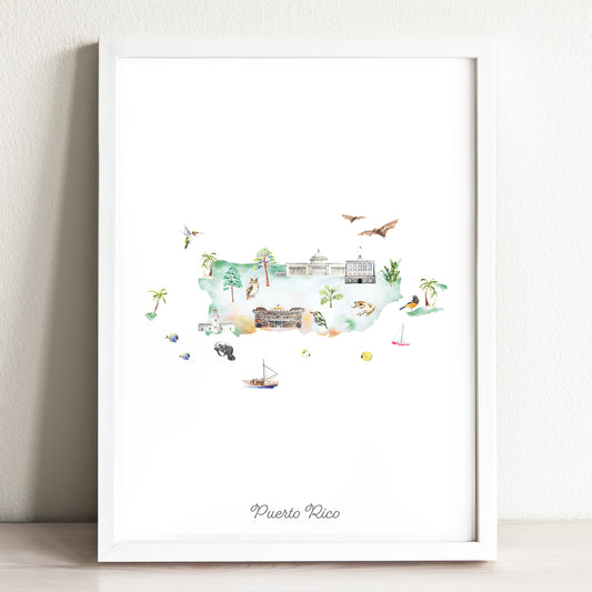
Puerto Rico Illustrated Map Art Print
Regular price From $ 24.00Regular priceUnit price per0.00 0.00Sale price From $ 24.00- Earth
- Midnight
-
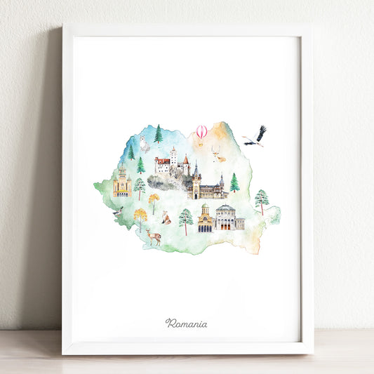
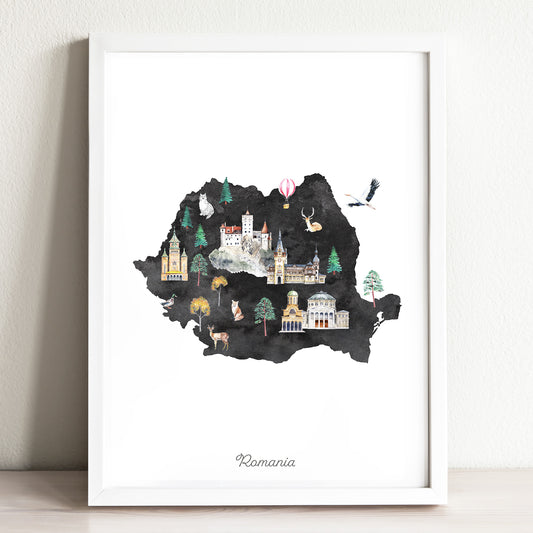
Romania Illustrated Map Art Print
Regular price From $ 24.00Regular priceUnit price per0.00 0.00Sale price From $ 24.00- Earth
- Midnight
-
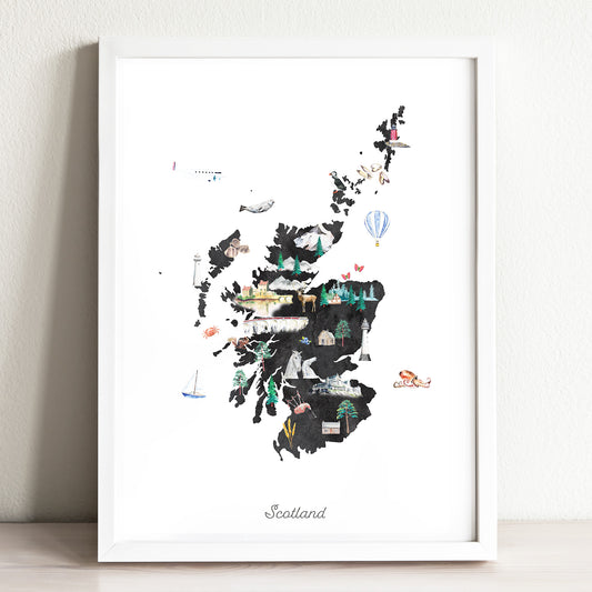
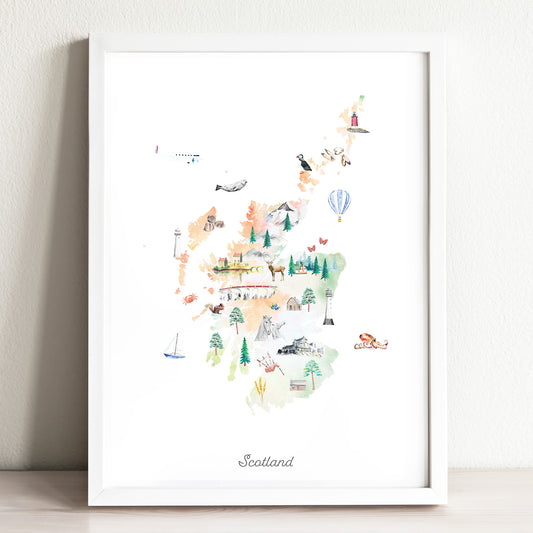
Scotland Illustrated Map Art Print
Regular price From $ 24.00Regular priceUnit price per0.00 0.00Sale price From $ 24.00- Earth
- Midnight
-
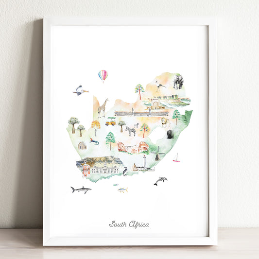
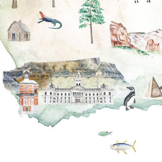
South Africa Illustrated Map Art Print
Regular price From $ 24.00Regular priceUnit price per0.00 0.00Sale price From $ 24.00- Earth
- Midnight
-
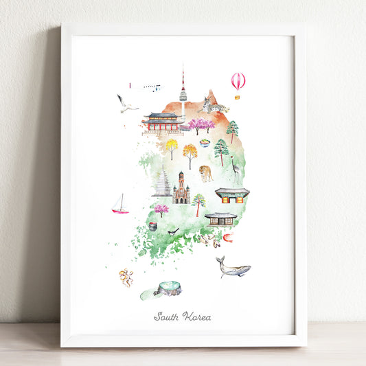
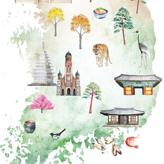
South Korea Illustrated Map Art Print
Regular price From $ 24.00Regular priceUnit price per0.00 0.00Sale price From $ 24.00- Earth
- Midnight
-
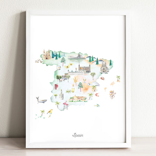
Spain Illustrated Map Art Print
Regular price From $ 24.00Regular priceUnit price per0.00 0.00Sale price From $ 24.00- Earth
- Midnight
-
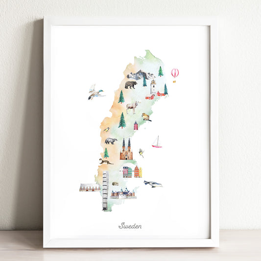
Sweden Illustrated Map Art Print
Regular price From $ 24.00Regular priceUnit price per0.00 0.00Sale price From $ 24.00- Earth
- Midnight
-
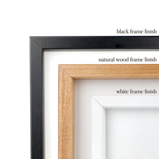
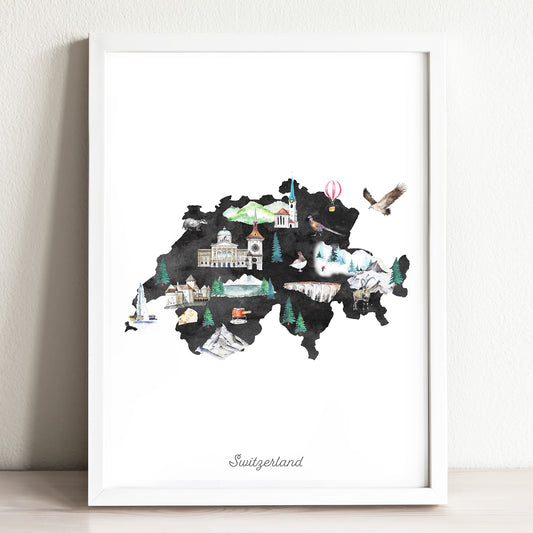
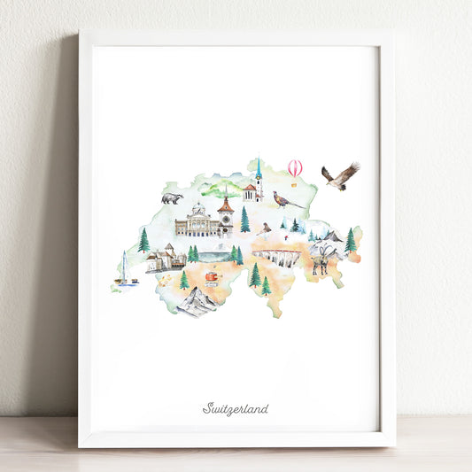
Switzerland Illustrated Map Art Print
Regular price From $ 24.00Regular priceUnit price per0.00 0.00Sale price From $ 24.00- Earth
- Midnight
-
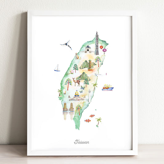
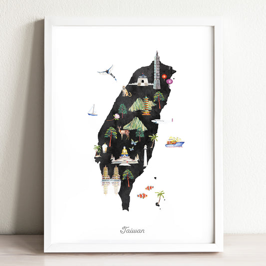
Taiwan Illustrated Map
Regular price From $ 24.00Regular priceUnit price per0.00 0.00Sale price From $ 24.00- Earth
- Midnight
-
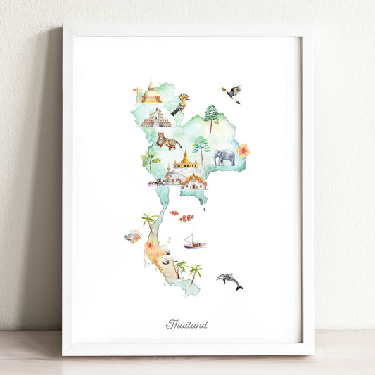
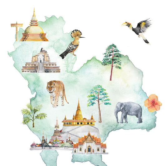
Thailand Illustrated Map
Regular price From $ 24.00Regular priceUnit price per0.00 0.00Sale price From $ 24.00- Earth
- Midnight
-
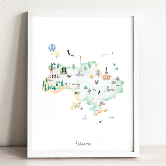
Ukraine Illustrated Map Art Print
Regular price From $ 24.00Regular priceUnit price per0.00 0.00Sale price From $ 24.00- Earth
- Midnight
-
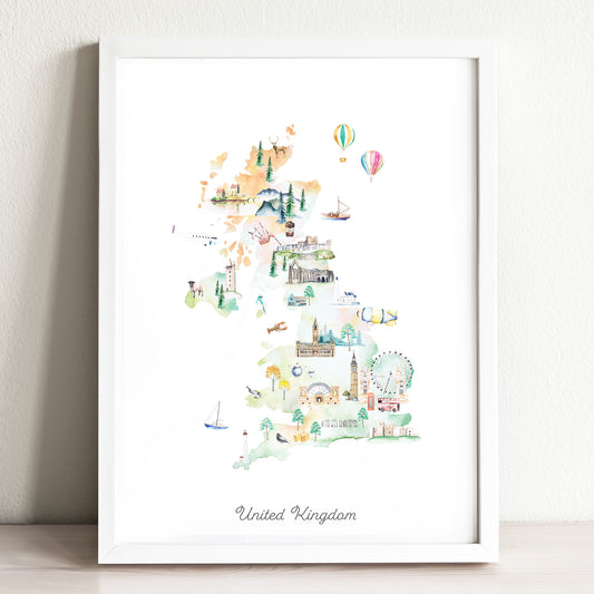
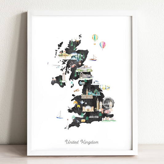
United Kingdom Illustrated Map Art Print
Regular price From $ 24.00Regular priceUnit price per0.00 0.00Sale price From $ 24.00- Earth
- Midnight
-
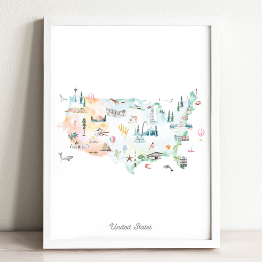
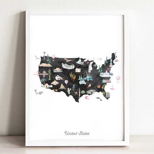
United States Illustrated Map Art Print
Regular price From $ 24.00Regular priceUnit price per0.00 0.00Sale price From $ 24.00- Earth
- Midnight
-
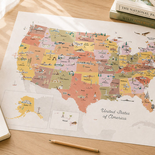
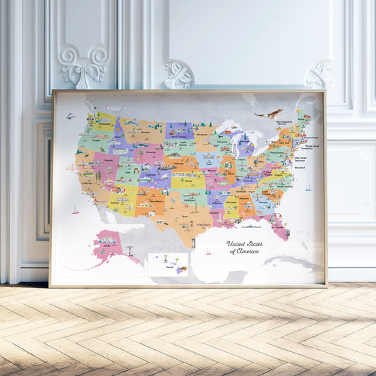
United States of America Reference Map
Regular price From $ 47.00Regular priceUnit price per0.00 0.00Sale price From $ 47.00- Earth
- Sky
- Spring
- Sunset
-
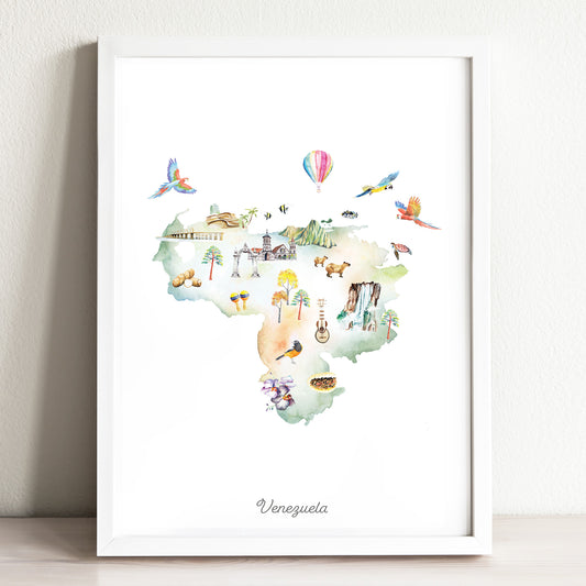
Venezuela Illustrated Map Art Print
Regular price From $ 24.00Regular priceUnit price per0.00 0.00Sale price From $ 24.00- Earth
- Midnight
-
Vietnam Illustrated Map Art Print
Regular price From $ 24.00Regular priceUnit price per0.00 0.00Sale price From $ 24.00- Earth
- Midnight