-
World Maps
A place to begin
-
Illustrated Country Maps
Explore the world at a glance


We design illustrated visual reference art that help families understand the world through place, language, and culture.
Featured Products
-
 customizable
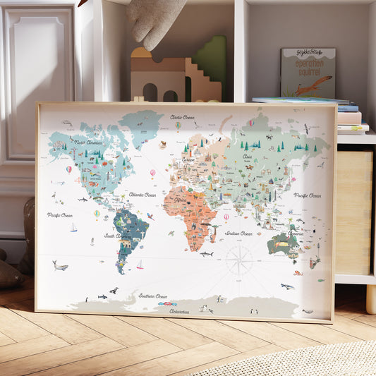
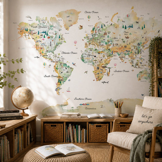
Illustrated Reference World Map
Regular price From $ 47.00Regular priceUnit price per0.00 0.00Sale price From $ 47.00- Earth
- Sky
- Sunset
- Spring
-
 customizable
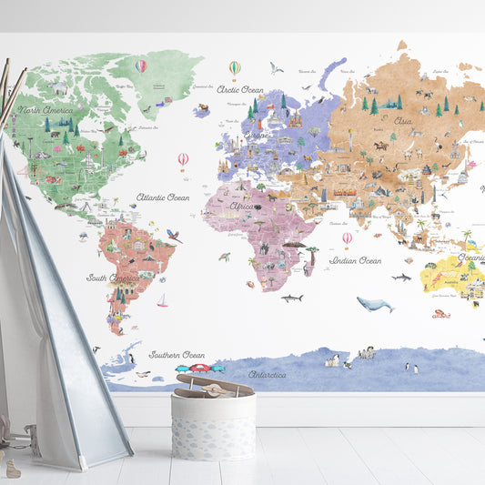
World Reference Map Wall Decal
Regular price From $ 59.00Regular priceUnit price per- Earth
- Sky
- Sunset
- Spring
-
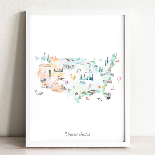
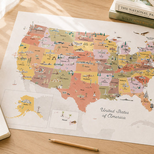
United States of America Reference Map
Regular price From $ 47.00Regular priceUnit price per0.00 0.00Sale price From $ 47.00- Earth
- Sky
- Spring
- Sunset


Notes from Customers
Featured Products
Most Collected
-
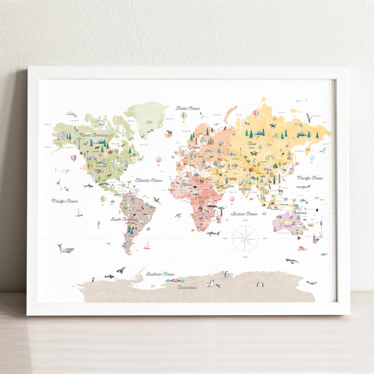
customizable
Illustrated Reference World Map
Regular price From $ 47.00Regular priceUnit price per0.00 0.00Sale price From $ 47.00- Earth
- Sky
- Sunset
- Spring
-
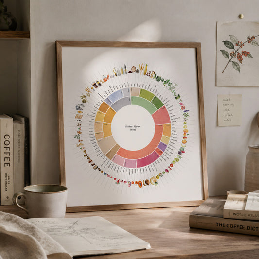
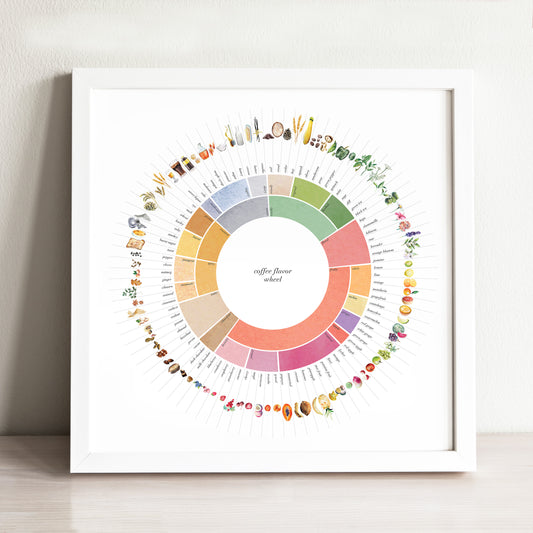
Coffee Flavor Wheel Art Print
Regular price From $ 29.00Regular priceUnit price per0.00 0.00Sale price From $ 29.00 -
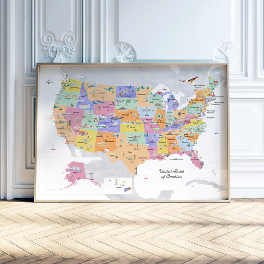
United States of America Reference Map
Regular price From $ 47.00Regular priceUnit price per0.00 0.00Sale price From $ 47.00- Earth
- Sky
- Spring
- Sunset
-
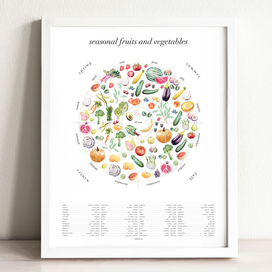
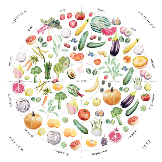
Seasonal Fruits & Vegetables Art Print
Regular price From $ 29.00Regular priceUnit price per0.00 0.00Sale price From $ 29.00 -
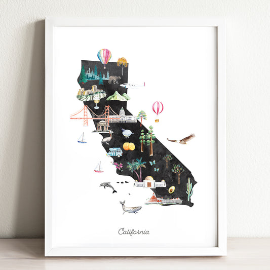
California Illustrated State Map Art Print
Regular price From $ 24.00Regular priceUnit price per0.00 0.00Sale price From $ 24.00- Earth
- Midnight
-
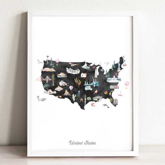
United States Illustrated Map Art Print
Regular price From $ 24.00Regular priceUnit price per0.00 0.00Sale price From $ 24.00- Earth
- Midnight
-
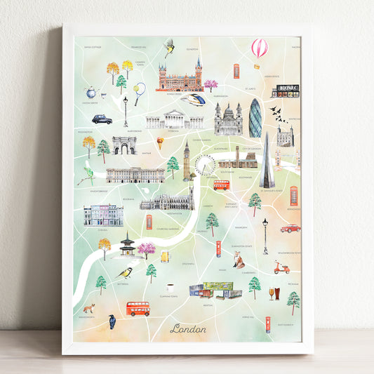
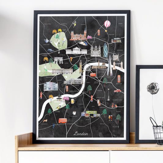
London Illustrated City Map Art Print
Regular price From $ 24.00Regular priceUnit price per0.00 0.00Sale price From $ 24.00- Earth
- Midnight