Collection: Illustrated City Maps
Browse illustrated city maps that capture the character, landmarks, streets, and stories of the world’s most fascinating cities. From London and Paris to Tokyo and New York, each map is thoughtfully designed to encourage observation, discovery, and a deeper connection to place and culture. Rich with architectural details, local references, and hand-painted elements, these maps function as both beautiful wall art and engaging visual learning tools.
Whether displayed in a study corner, living room, or children’s space, they invite ongoing exploration and spark curiosity about how cities are shaped and experienced. From Los Angeles to London and New York to Tokyo, celebrate metropolitan culture with detailed renderings of famous landmarks and surprising, lesser-known places.
-
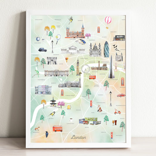
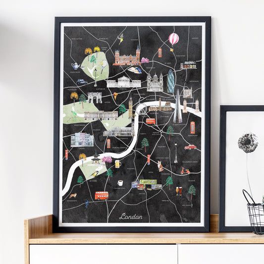
London Illustrated City Map Art Print
Regular price From $ 24.00Regular priceUnit price per0.00 0.00Sale price From $ 24.00- Earth
- Midnight
-
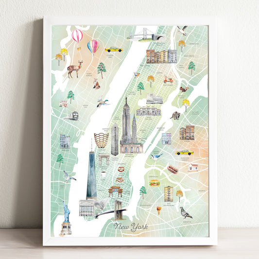
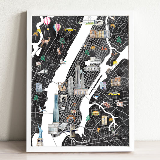
New York Illustrated City Map Art Print
Regular price From $ 24.00Regular priceUnit price per0.00 0.00Sale price From $ 24.00- Earth
- Midnight
-
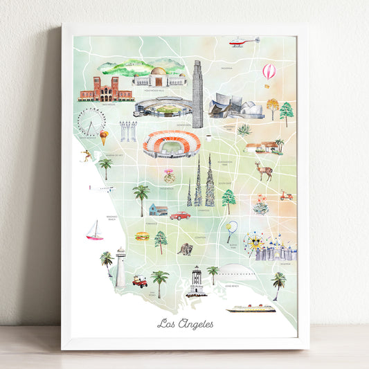
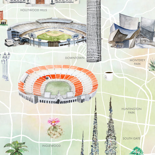
Los Angeles Illustrated City Map Art Print
Regular price From $ 24.00Regular priceUnit price per0.00 0.00Sale price From $ 24.00- Earth
- Midnight
-
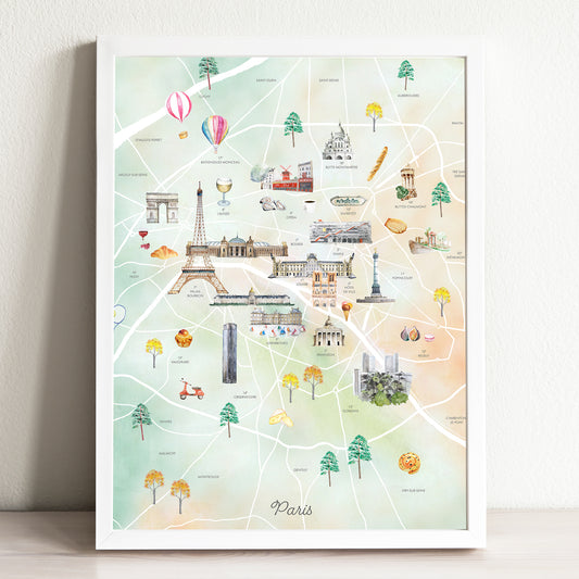
Paris Illustrated City Map Art Print
Regular price From $ 24.00Regular priceUnit price per0.00 0.00Sale price From $ 24.00- Earth
- Midnight
-
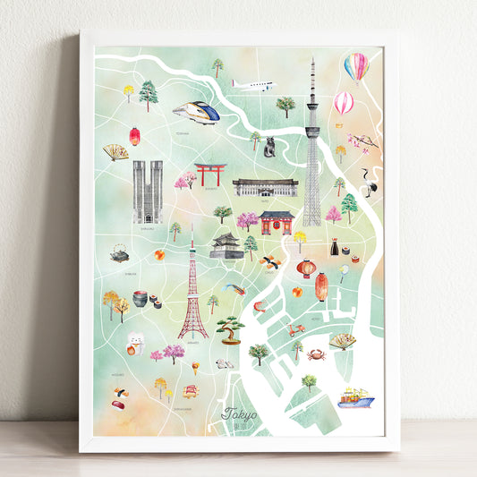
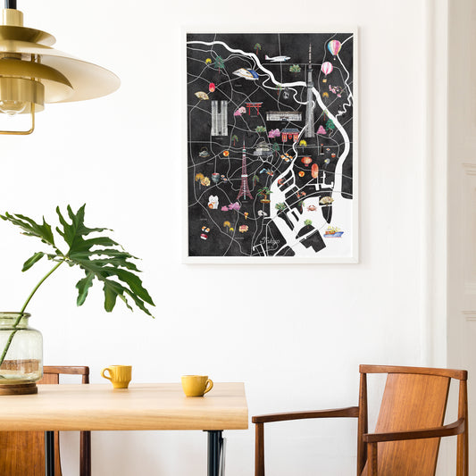
Tokyo Illustrated City Map Art Print
Regular price From $ 24.00Regular priceUnit price per0.00 0.00Sale price From $ 24.00- Earth
- Midnight
-
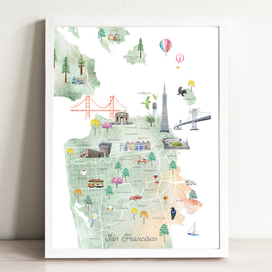
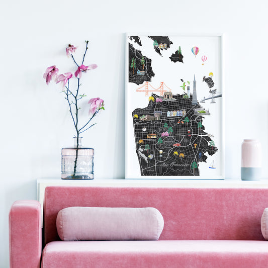
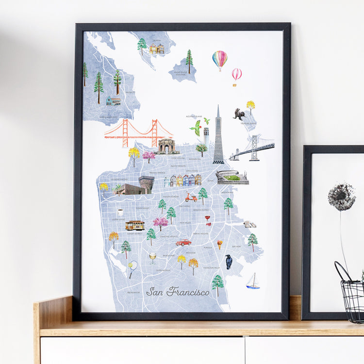
San Francisco Illustrated City Map Art Print
Regular price From $ 24.00Regular priceUnit price per0.00 0.00Sale price From $ 24.00- Earth
- Midnight