United States Illustrated Map Art Print
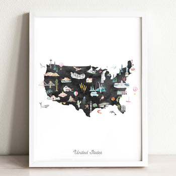


United States Illustrated Map Art Print
Couldn't load pickup availability
Estimated delivery: Up to 10 days from order date
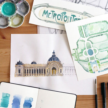
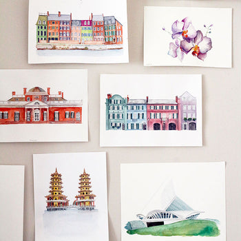
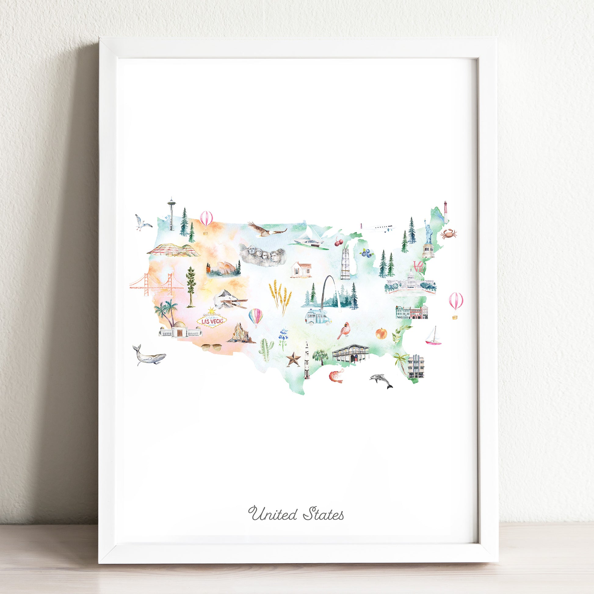
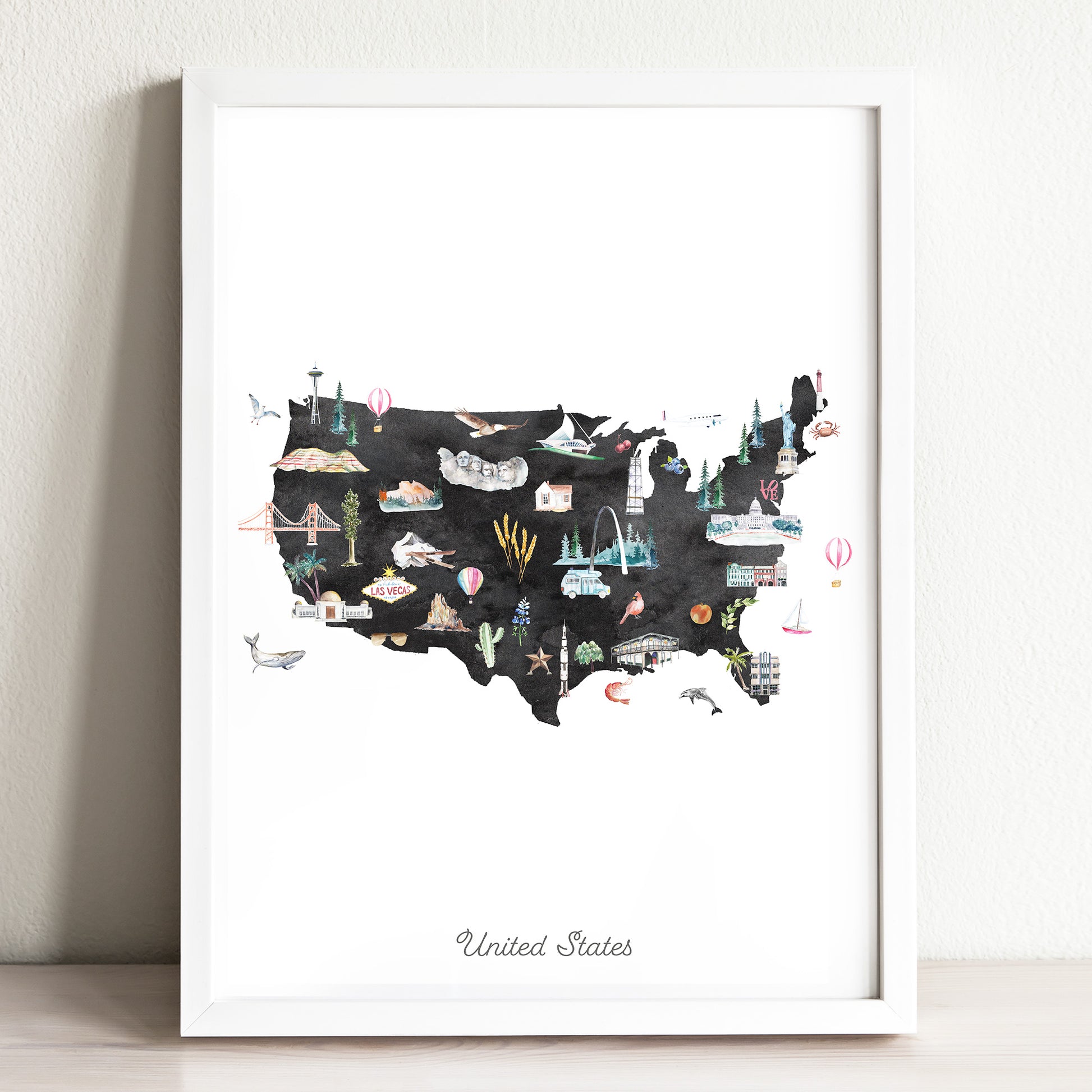
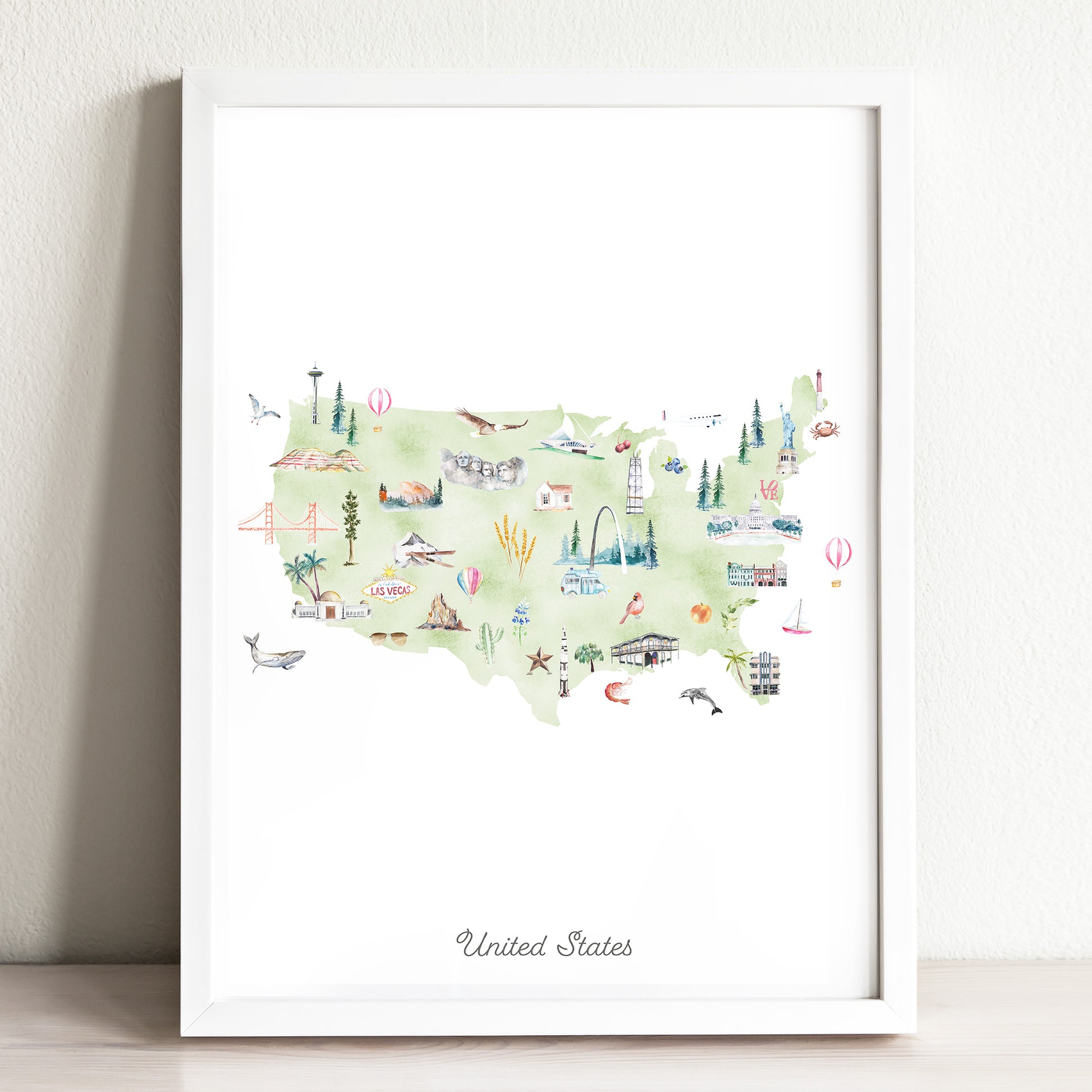
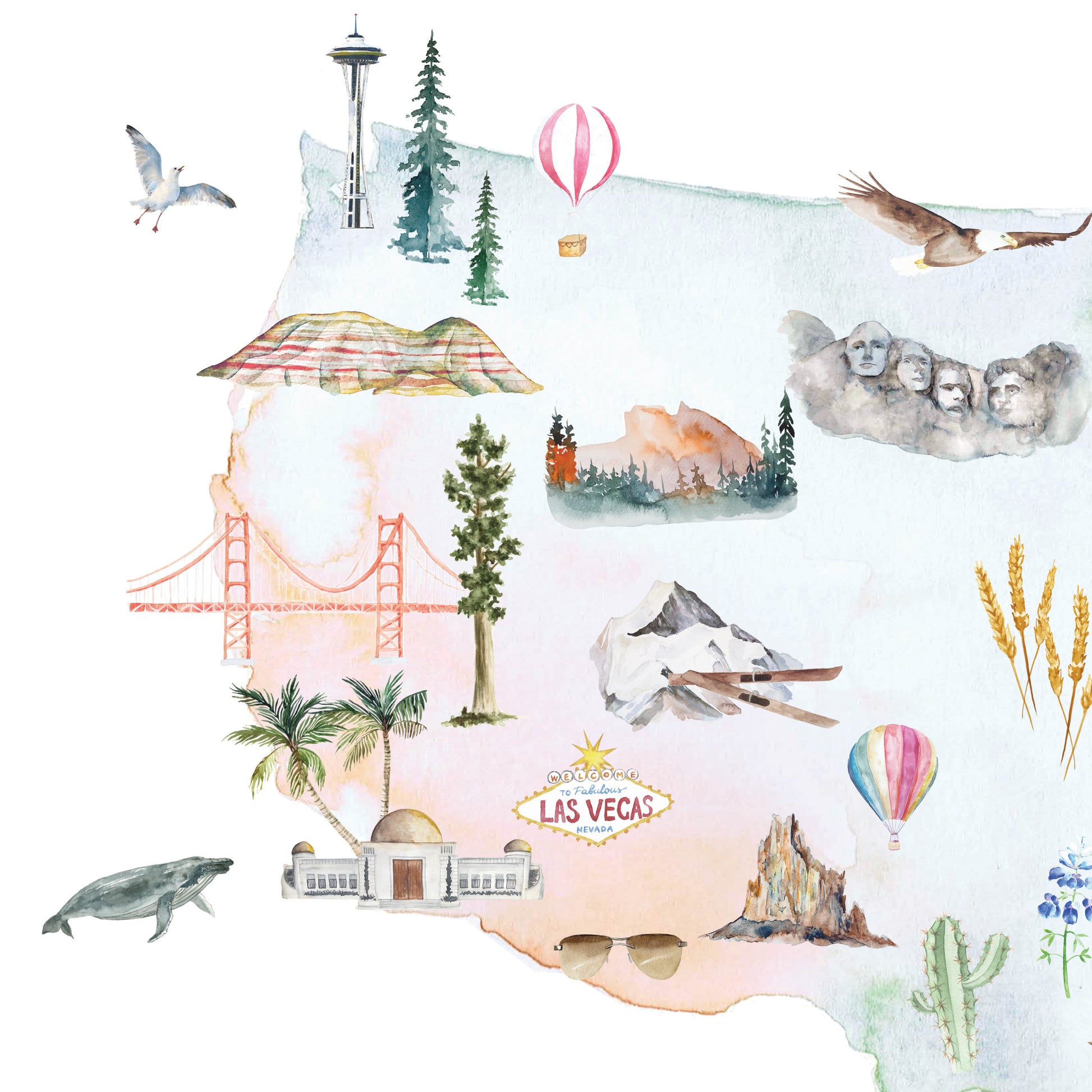
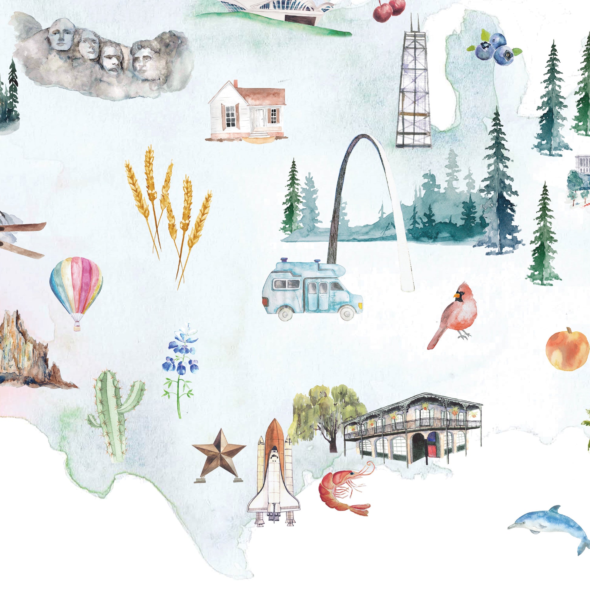
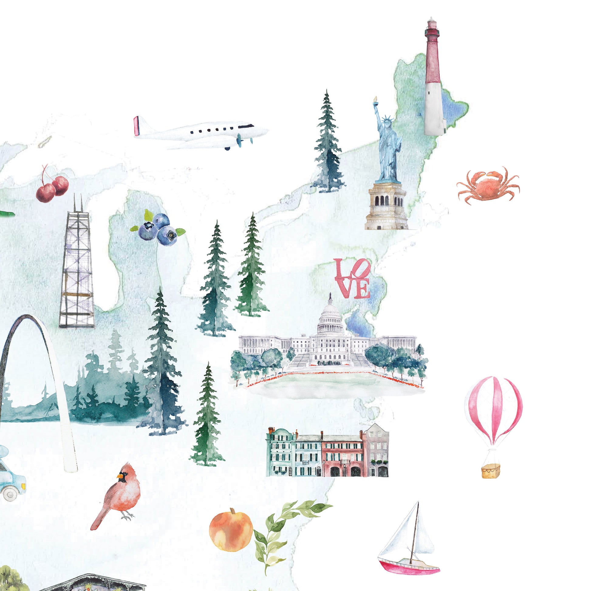
A beautiful watercolor map of the United States, featuring illustrated renditions of famous landmarks, plants, and regional animals from different parts the country.
We strive to create designs for home decor that are clean, functional, and beautiful. Our prints make perfect gifts for travel lovers or anyone looking for modern travel decor or wall art.
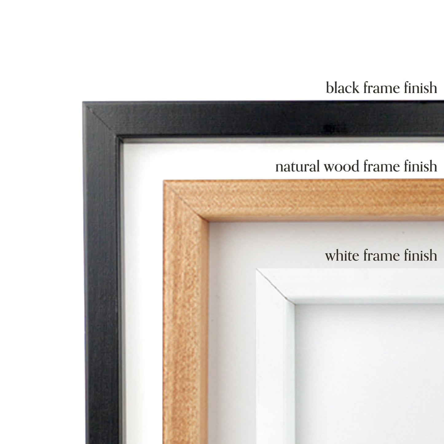
Our wooden framed art prints come in a white or black finish, are 1 1/4" by 3/4 " thick, and include hanging hardware. The ensemble comes with an acrylic front protector to help prevent damage to the print.
Printed on archival, acid-free, 192 gsm matte paper - the prints are thick, durable, and museum-quality. Made to order.
Sizing Guide
+
-
Sizing Guide
| Inches (in) | Centimeters (cm) |
|---|---|
| 5 x 7 in | 10.1 x 17.8 cm |
| 8 x 10 in | 20.3 x 25.4 cm |
| 12 x 16 in | 30.5 x 40.6 cm |
| 18 x 18 in | 45.7 x 45.7 cm |
| 16 x 20 in | 40.6 x 50.8 cm |
| 18 x 24 in | 45.7 x 61.0 cm |
| 24 x 36 in | 61.0 x 91.4 cm |
Shipping & Returns
+
-
Shipping & Returns
All art print orders that do not require any customization or personalization ship for free worldwide within 3-5 business days. For US orders, please allow another 3-5 days for delivery. For international orders please allow 10-20 business days for delivery.
Canvases and framed prints will usually take 5-7 business days to ship.
For custom and bespoke map print products, the average lead time will be within 5-10 days for the first proof. Upon approval of the final proof, the item will be shipped within 3-5 business days.


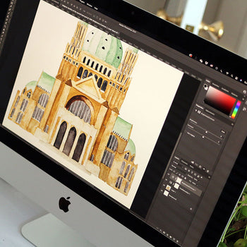
Our Process